How CityFlow AI Works
Take a step-by-step journey through our platform. See exactly how we transform municipal management from your first login to mastering AI-driven city analytics.
Registration & Onboarding
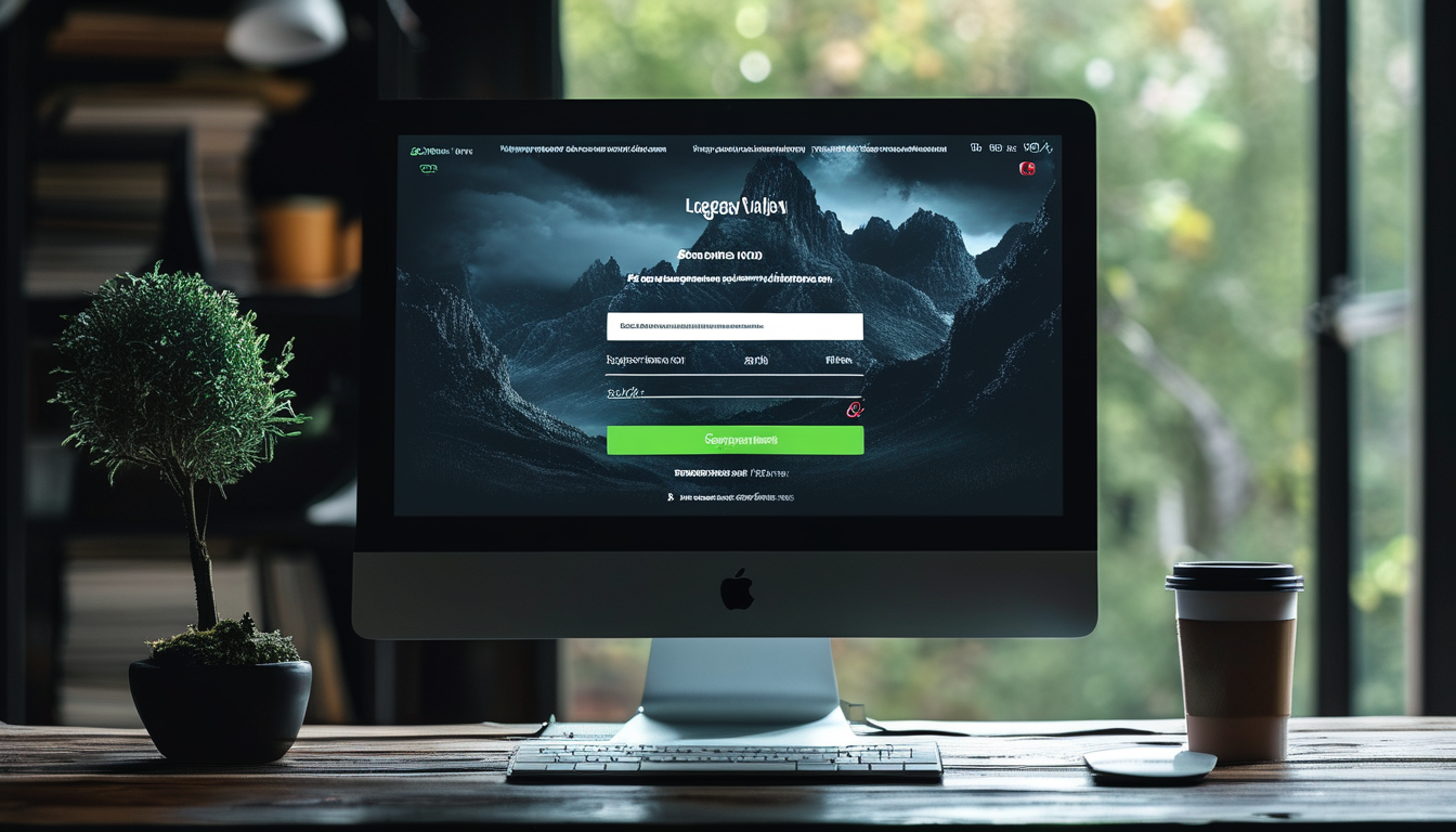
Creating an account is seamless. Enter your municipality details, choose your trial or subscription tier (Local, District, or Enterprise), and instantly access your dedicated, secure environment. The platform automatically sets up your isolated database tables and RLS security policies.
Role-Based Dashboard Access
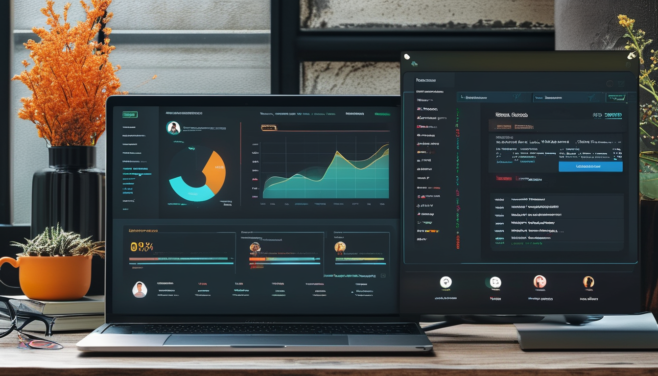
CityFlow AI utilizes strict Role-Based Access Control (RBAC). When users log in, they are presented with a tailored dashboard. Super Admins manage billing and municipality onboarding; Municipal Admins control staff access and department settings; while Staff see only the operational tickets and tasks assigned to their department.
Urban Planning & Property Management
Load your municipal property registry (erf records) directly into the platform. Manage spatial development frameworks, land-use zoning, and automated property valuations. Every property is linked to historical ownership transfers and compliance audits.

Interactive GIS Mapping & Infrastructure
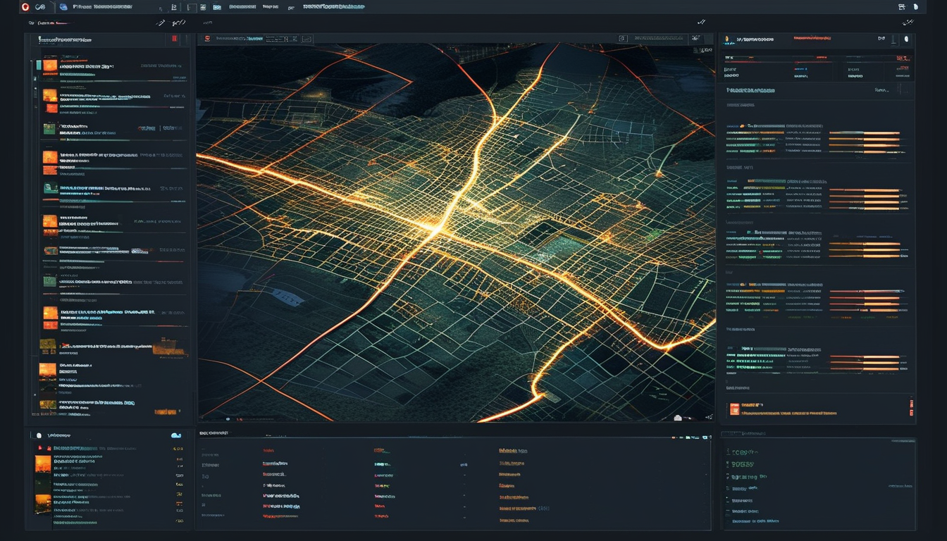
The GIS module is the heart of CityFlow. It provides interactive, multi-layer overlays of your entire municipality. Instantly see property boundaries, water pipes, electrical grids, and road networks. Live infrastructure health tracking alerts you to maintenance needs before critical failures occur.
Building Approvals & Projects
Digitize your building approval process. Citizens and developers can submit architectural plans online. The system routes the documents through technical reviews, compliance inspections, and final approvals, generating a digital Certificate of Occupancy upon completion.

Public Citizen Reporting Portal
Your municipality gets a dedicated, branded public portal. Citizens can log in to report potholes, water leaks, or electrical faults by dropping a pin on the map and uploading a photo. The system automatically routes the ticket to the correct municipal department based on the fault category.

Service Delivery & Compliance
Track service delivery in real-time. Managers can view SLA performance (e.g., how fast are potholes fixed?) via live heatmaps and trend analysis charts. Simultaneously, the compliance module tracks MFMA and POPIA requirements, logging every action for internal audits.

AI Analytics & Executive Dashboards
To round it all out, executives get access to Smart Dashboards powered by Gemini AI. Ask questions in natural language ("Show me water leaks in Ward 5 over the last month") and receive predictive forecasting for revenue enhancement, debt recovery, and population growth.

Ready to experience the platform?
Join leading South African municipalities managing their infrastructure, revenue, and citizen engagement on CityFlow AI.
Create Your Account Now